Rocky Narrows
The Trustees · on the Charles River
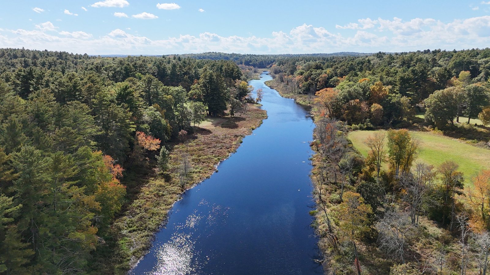
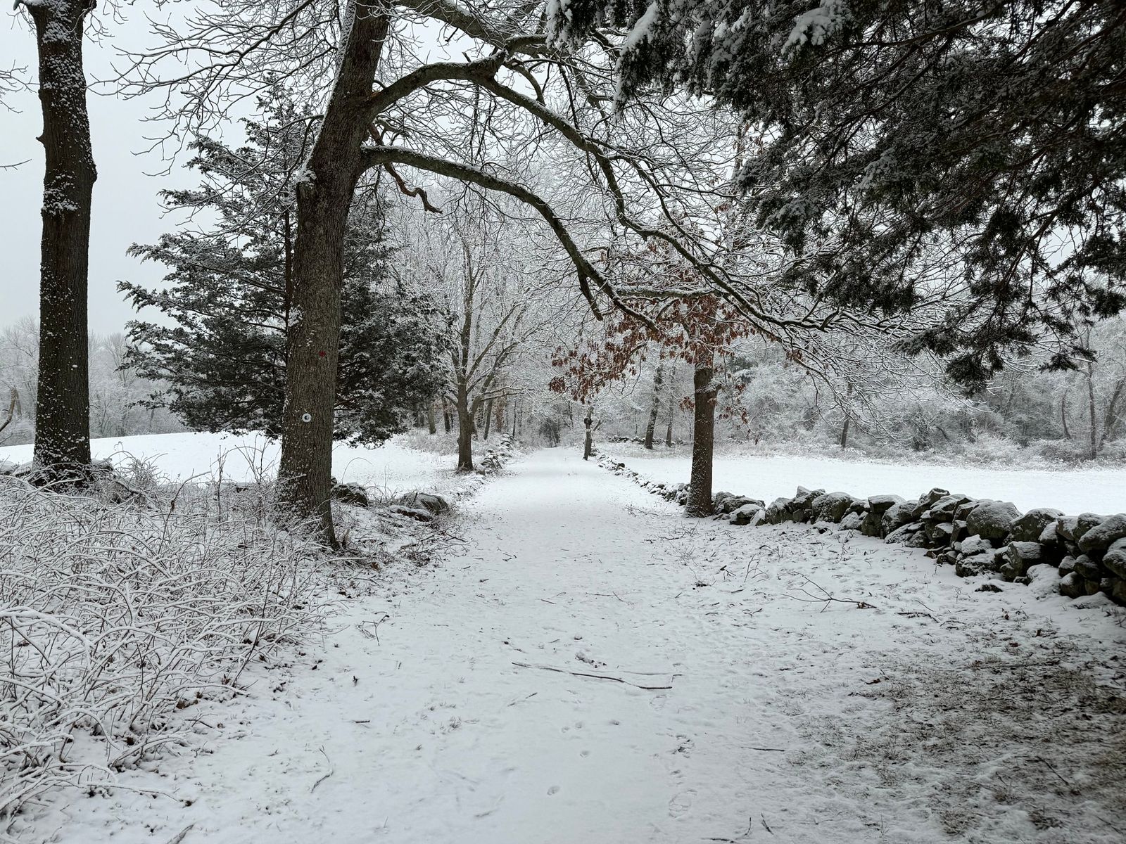
At Rocky Narrows, the Charles River squeezes between wooded granite hills known as the “Gates of the Charles.” In 1897 it became the very first reservation of The Trustees, and it now connects with the Sherborn Town Forest and the Bay Circuit Trail.
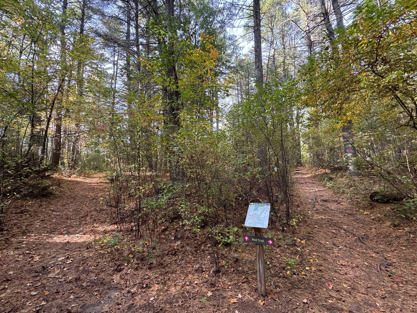
Color-coded loops wind through hemlock woods and open meadows to an overlook above the river, and a canoe landing lets paddlers stop along the river.
There are two small parking areas: one on South Main Street (Route 27) and one on Forest Street.
Full guide to Rocky Narrows →
King Philip’s Overlook
Next to Rocky Narrows
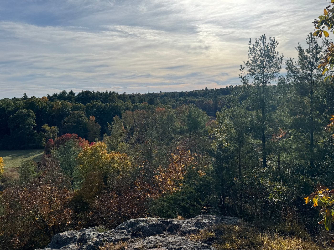
Next to Rocky Narrows, a short climb leads to a rocky ledge looking out over the Charles River valley toward Medfield and Millis. Several trails lead there, including the Red Trail at Rocky Narrows. It is one of the best views in town, especially in fall. The name recalls Metacomet, the Wampanoag leader English colonists called “King Philip.”
How to get to the overlook →
The Charles River
Paddling and fishing
The Charles River winds along Sherborn’s southeastern edge, slow and quiet as it passes woods, meadows, and the granite walls of Rocky Narrows. It is a favorite for canoeing and kayaking: a classic day trip runs about 10 miles downstream from Medfield to the dam in South Natick, passing through Rocky Narrows and under the Farm Road bridge. The Trustees maintain a canoe landing at Rocky Narrows, but it is for landing only; boats cannot be launched from the property.
Anglers fish from the banks too, including at the small parking area off Bridge Street. Anyone 15 or older needs a Massachusetts freshwater fishing license.
Full guide to paddling and fishing the Charles →
The Sherborn Town Forest and trails
Across town
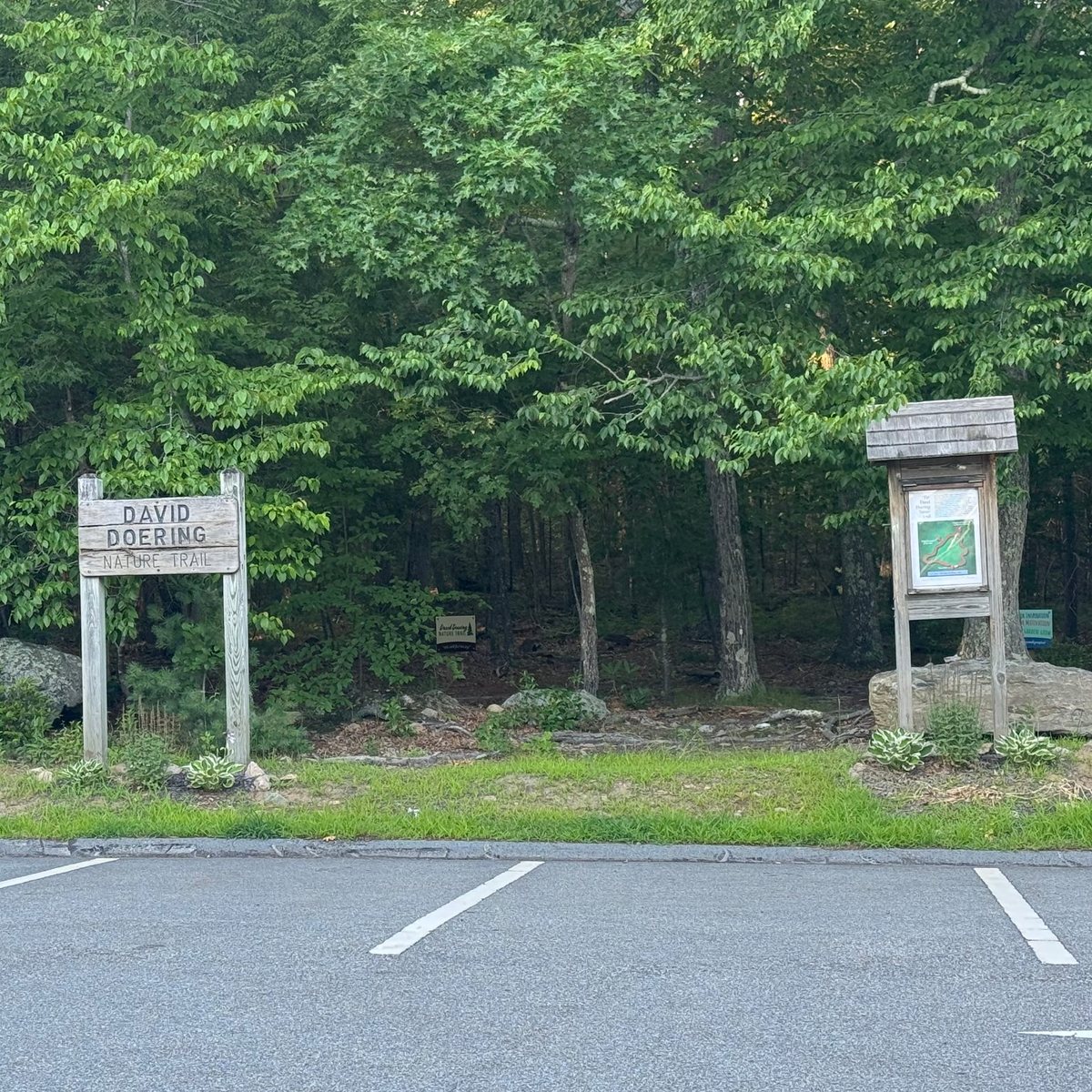
The Sherborn Town Forest runs in a long belt across town, from the Charles River toward the Framingham line. Its trails join conservation land and trail easements across town, so it is easy to find a quiet walk close to home. The David Doering Nature Trail starts right behind Pine Hill School.
Full guide to the Sherborn Town Forest →
Barber Reservation
Western Avenue · conserved 1968
One of Sherborn’s largest conservation areas, about 190 acres of Town land conserved in 1968. Roughly five miles of trails loop through open meadows and mixed woods, starting from a trailhead kiosk on a mowed field shaded by tall pines. The meadows make an easy, open walk, and the woods are especially colorful in fall.
Full guide to Barber Reservation →
Peter’s Hill
Town conservation land · conserved 1976
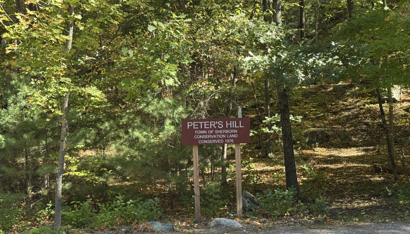
A wooded hill of about 50 acres, conserved by the Town in 1976, with a trail that climbs from the road through oak, maple, and pine past mossy boulders. It is small enough for a quick walk and usually quiet, a good alternative to the bigger reservations.
Leland Mill Pond Reservation
Off Hollis Street · conserved 1979
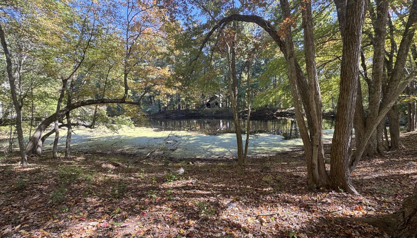
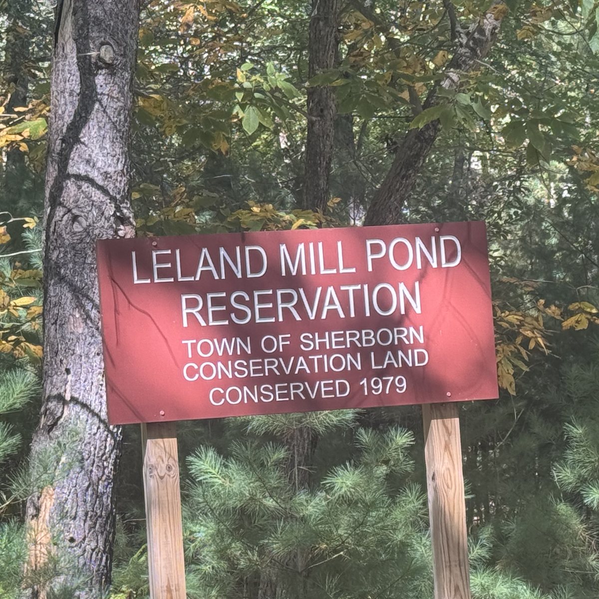
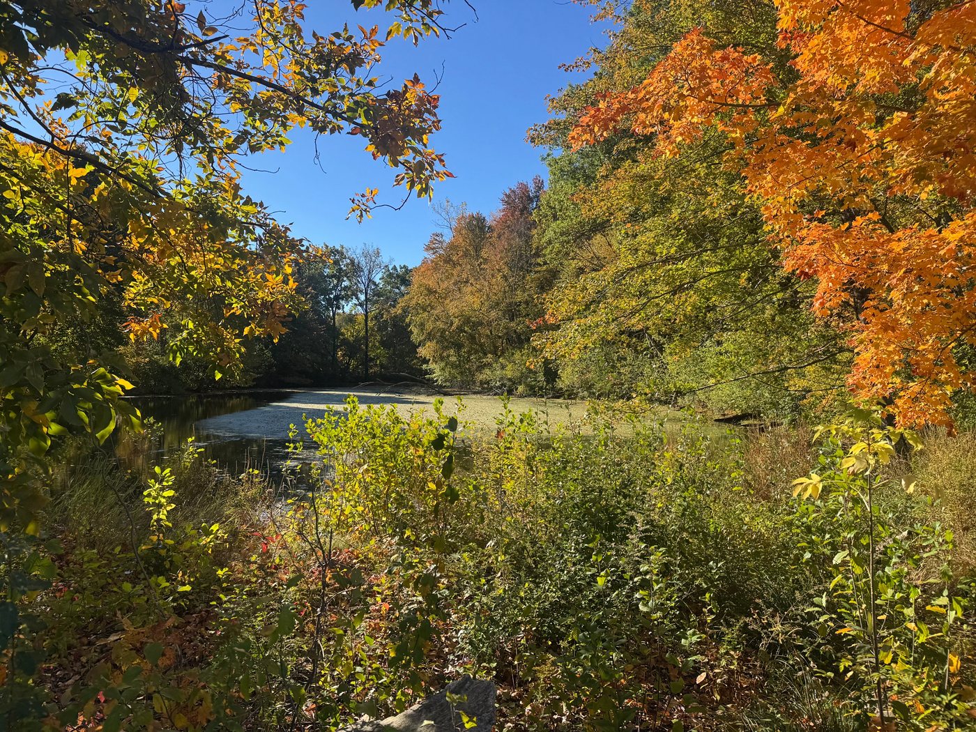
A quiet Town conservation area around the old mill pond of the Leland family, one of Sherborn’s earliest. Short, easy trails wind through pine and hardwood woods to the water’s edge, past an open glade and traces of the old mill. Perry’s Path, dedicated by the Conservation Commission in 2006 in gratitude to Edward Perry, leads along the pond, where a bright green layer of duckweed often covers the shallows by late summer.
It is one of the more secluded spots in town, and you may have the trails to yourself. Parking is at the end of a narrow dirt drive that is easy to miss.
Hopestill Reservation
Across from Hopestill Farm · conserved 1979
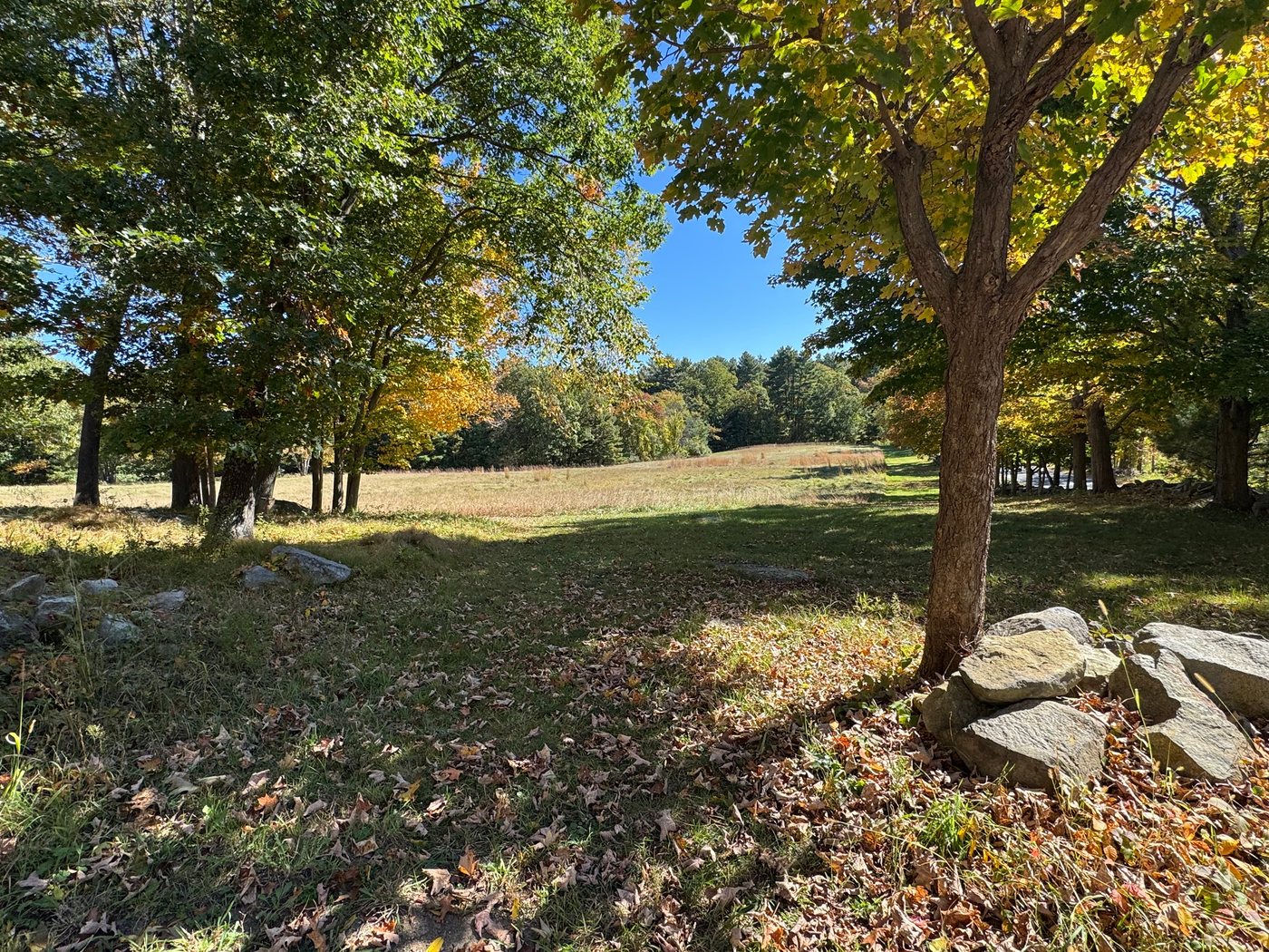
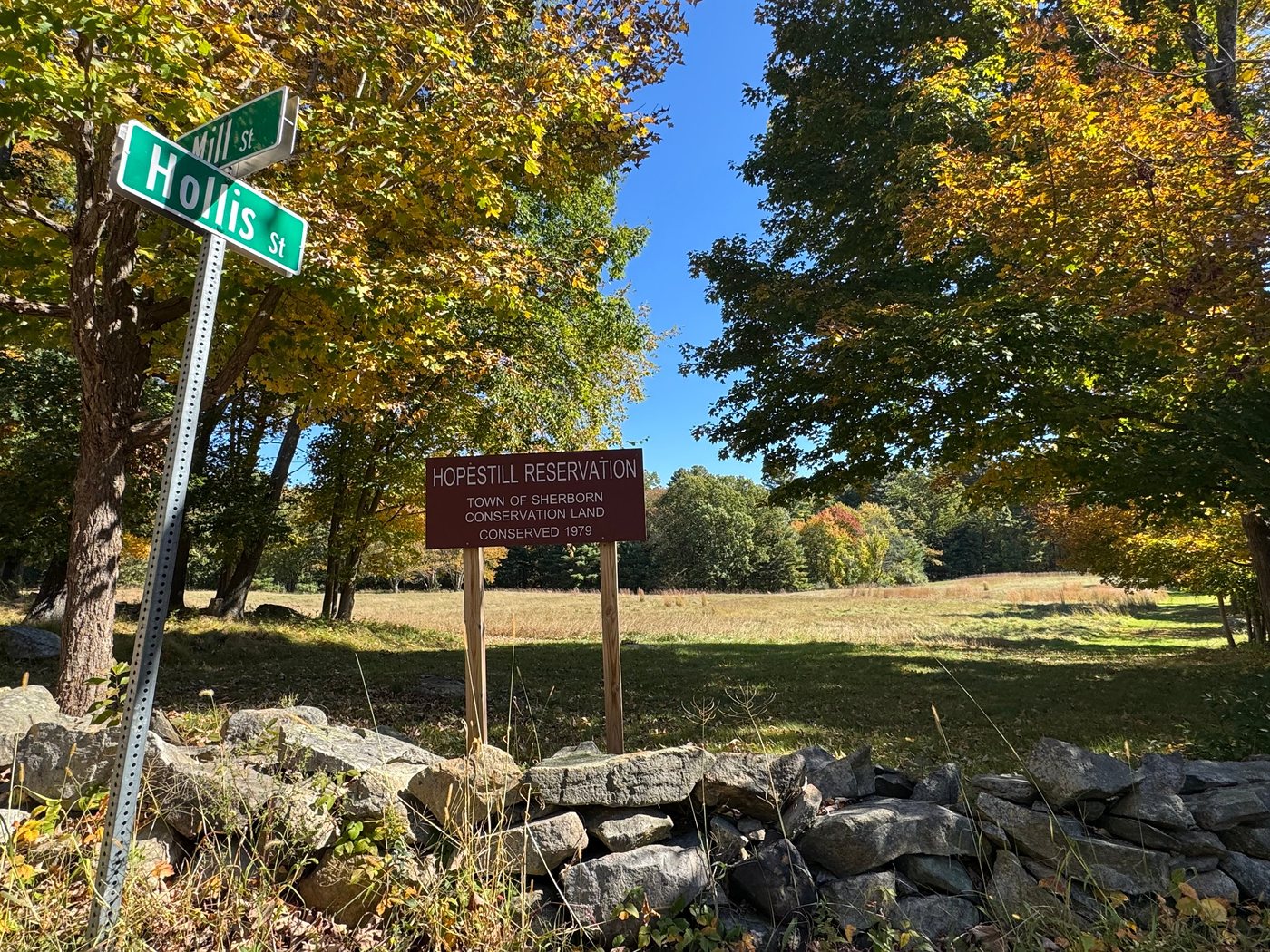
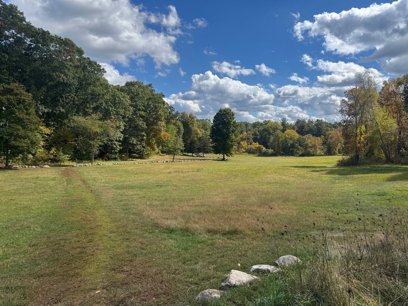
Town conservation land across the street from Hopestill Farm, conserved in 1979. Wide meadows of tall grass are edged with maples, oaks, and pines and lined with old stone walls, with a mowed path along the field’s edge.
It is an easy, open spot for a short walk, and especially pretty in fall, when the trees around the meadow turn gold and orange.
Cemetery Lane, next to the fire station
A small pond in the Ward J. Parks Recreation Area, beside Sherborn Playground and across from the tennis courts. An easy stop before or after a game at Jameson Fields.
Full guide to Ward Parks Pond →Mountain biking
Sherborn Town Forest and Rocky Narrows
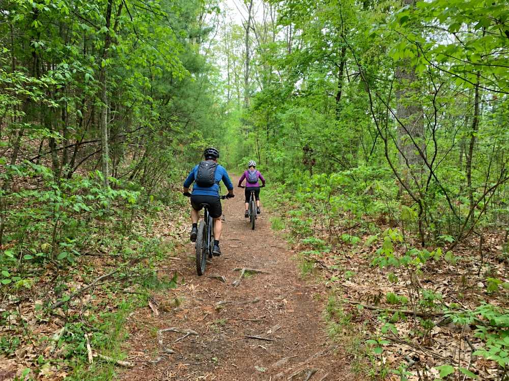
Mountain biking is a popular part of Sherborn’s outdoor scene, with riders using miles of wooded trails that wind through the Sherborn Town Forest and other conservation areas. The Sherborn Town Forest has trails built specifically for mountain biking, along with a larger network of rocky, root-filled singletrack and old cart paths shared with hikers and horseback riders. Pine Hill School is one of the easiest access points, with additional trailheads and small parking areas around town, and the Bay Circuit Trail connects portions of the network. The sport has grown enough in Sherborn that the town has added purpose-built trails in response to increased demand. Even so, the woods rarely feel crowded, and it is not unusual to ride for long stretches without encountering anyone else.
Access at certain environmentally sensitive properties like Rocky Narrows is restricted to dry conditions and is strictly closed to mountain bikes during the spring mud season, which runs from March 1 through April 30 at Rocky Narrows. The Trustees also allow bikes only on designated trails there. No motorized vehicles are allowed on Sherborn Town Forest land.
Riders share every trail with walkers, runners, dogs, and horses, so slow down, call out when passing, and yield to others, especially horses. Skip the trails when they are wet or muddy, since tire ruts can last all season.