
Paddling and fishing
The Charles River
A quiet, winding stretch of river along Sherborn’s southeastern edge.
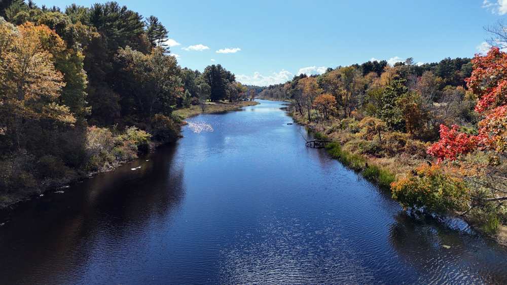
The Charles River runs along Sherborn’s southeastern edge, and it is one of the best things about living here.
This stretch of the river is slow and quiet. It winds past woods, meadows, and farm fields, then squeezes between the granite walls of Rocky Narrows. It is a great place to paddle a kayak or canoe, and anglers fish from the banks.
- Main launch
- Farm Road and Bridge Street bridge, at the Sherborn and Dover line
- Paddling
- Slow, winding, and good for beginners
- Highlight
- Rocky Narrows, about a mile upstream of the bridge
- Fishing
- Massachusetts license needed at age 15 and up
Where to put in a kayak or canoe
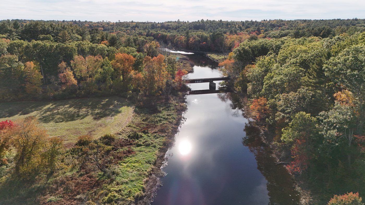
The easiest place to launch near Sherborn is at the bridge where Farm Road becomes Bridge Street, at the Sherborn and Dover line. The launch is on the Dover side of the river. It is a maintained site with a short carry to a small, flat beach at the water, and parking is easy.
The Trustees have canoe landings at Rocky Narrows and at Peters Reservation in Dover, about half a mile downstream of Bridge Street. Both are for landing only. You can pull over for a break or a picnic, but you cannot launch a boat from either one.
Three good paddles
- Bridge Street to Rocky Narrows and back. Paddle upstream about a mile to Rocky Narrows, stop at the canoe landing to stretch your legs, and float back. It is about two miles round trip and a great first paddle with kids.
- Medfield to Bridge Street. Put in at the Dover Road and West Street bridge in Medfield and paddle about five miles downstream, past Route 27 and through Rocky Narrows, to the Bridge Street launch. You will need a car at each end.
- Bridge Street to South Natick. Paddle about three miles downstream to Grove Park in South Natick. Take out on the right bank at Grove Park, above the South Natick dam.
Fishing
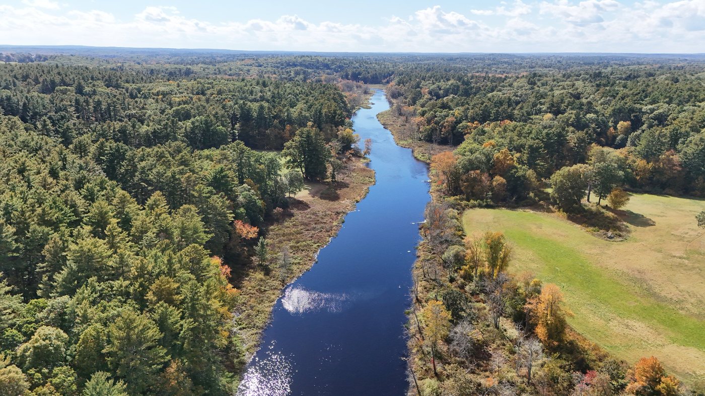
The Charles is a good warm-water river, and people fish from the banks and from boats. The small parking area off Bridge Street gives you easy access to the water. Bass, pickerel, and panfish are the usual catch, and plenty of people fish here just for fun and let everything go.
Anyone 15 or older needs a Massachusetts freshwater fishing license, which you can buy online from MassWildlife. The state also publishes freshwater fish consumption advisories, which are worth a look if you plan to keep your catch.
Paddling safety
- Massachusetts law requires everyone in a canoe or kayak to wear a life jacket from September 15 through May 15. The rest of the year, each person needs one in the boat.
- Watch for fallen trees in the water. Steer to the opposite side of the river and do not get pinned against them.
- Never paddle near the South Natick dam. Take out at Grove Park, well above it.
- Poison ivy is common around the launches and landings.
- Water quality drops after heavy rain. Skip swimming for a few days after a storm.
Good to know
Before you go
- Bring a dry bag for your phone and keys.
- The river can run high in spring. Low water in late summer can mean a few shallow spots.
- Carry out whatever you bring in, and leave the launches better than you found them.
- The Charles River Watershed Association publishes a detailed canoe and kayak guide with maps of every launch.
Go straight to the source