The Trustees’ first reservation
Rocky Narrows
Granite cliffs, hemlock woods, and one of the best views of the Charles River.
Rocky Narrows is one of our favorite places in Sherborn. It is where the Charles River squeezes between two granite hills, and it has been protected since 1897, when it became the very first reservation of The Trustees.
Today it covers 274 acres along the river, with about seven miles of trails through hemlock and pine woods, open meadows, and rocky ledges. It sits right next to the Sherborn Town Forest, and the trails connect, so a short walk can easily turn into a whole afternoon.
- Where
- South Main Street (Route 27) and Forest Street, Sherborn
- Size
- 274 acres, about 7 miles of trails
- Hours
- Sunrise to sunset, every day
- Cost
- Free
- Managed by
- The Trustees
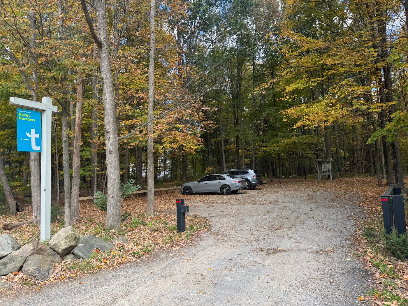
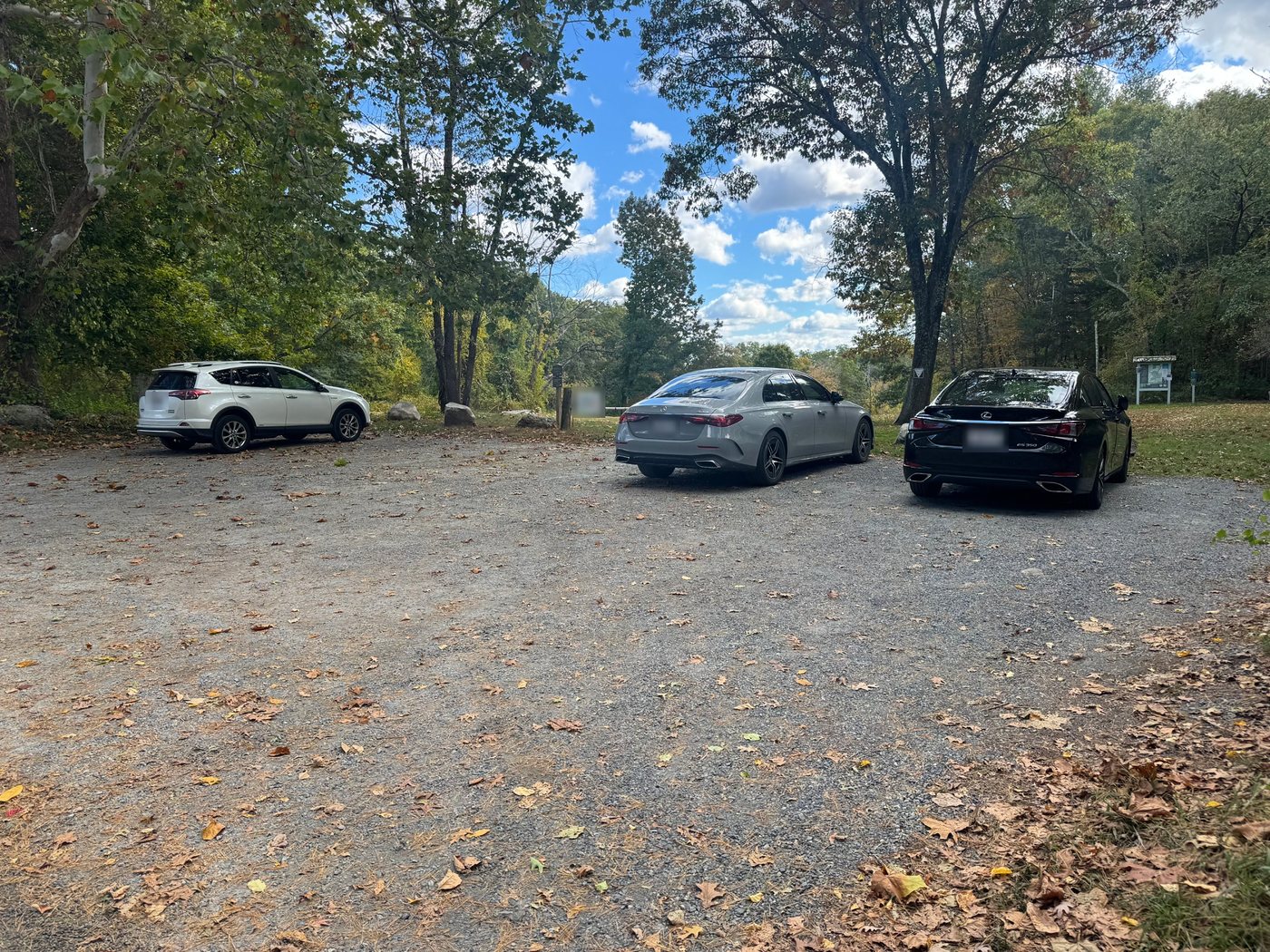
Parking: two small lots
There are two small parking areas, and each one only holds a handful of cars. On a nice fall weekend they fill up early.
- Route 27 (South Main Street). This is the main entrance. The lot is on the right if you are coming from Medfield.
- Forest Street, off Snow Street. This lot is at the northern edge of the reservation, and it is the one The Trustees recommend.
Parking on the street is not allowed. If both lots are full, come back another time or head to one of the Sherborn Town Forest trailheads instead.
The trails and trail colors
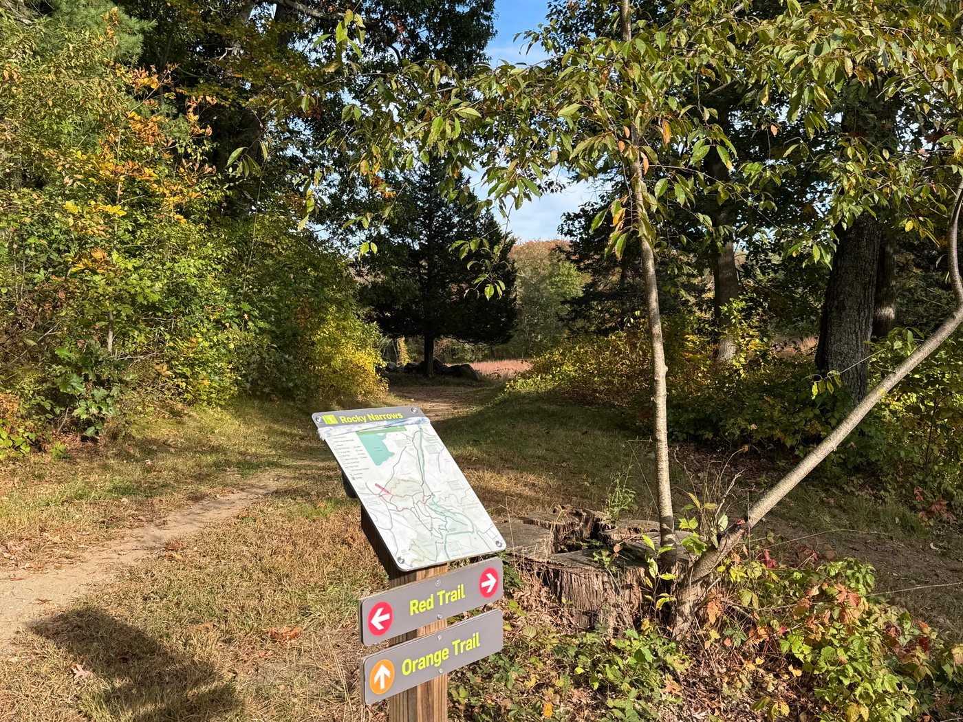
The trails are marked by color: red, orange, yellow, and blue. It is worth pulling up the Trustees’ trail map on your phone before you go, because the Rocky Narrows trails run into the Sherborn Town Forest network and it is easy to wander farther than you planned.
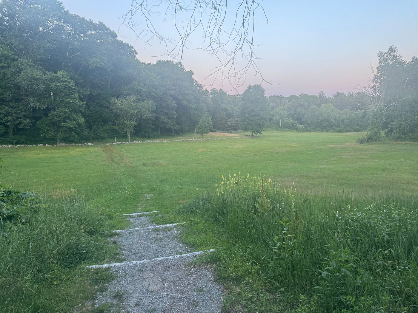
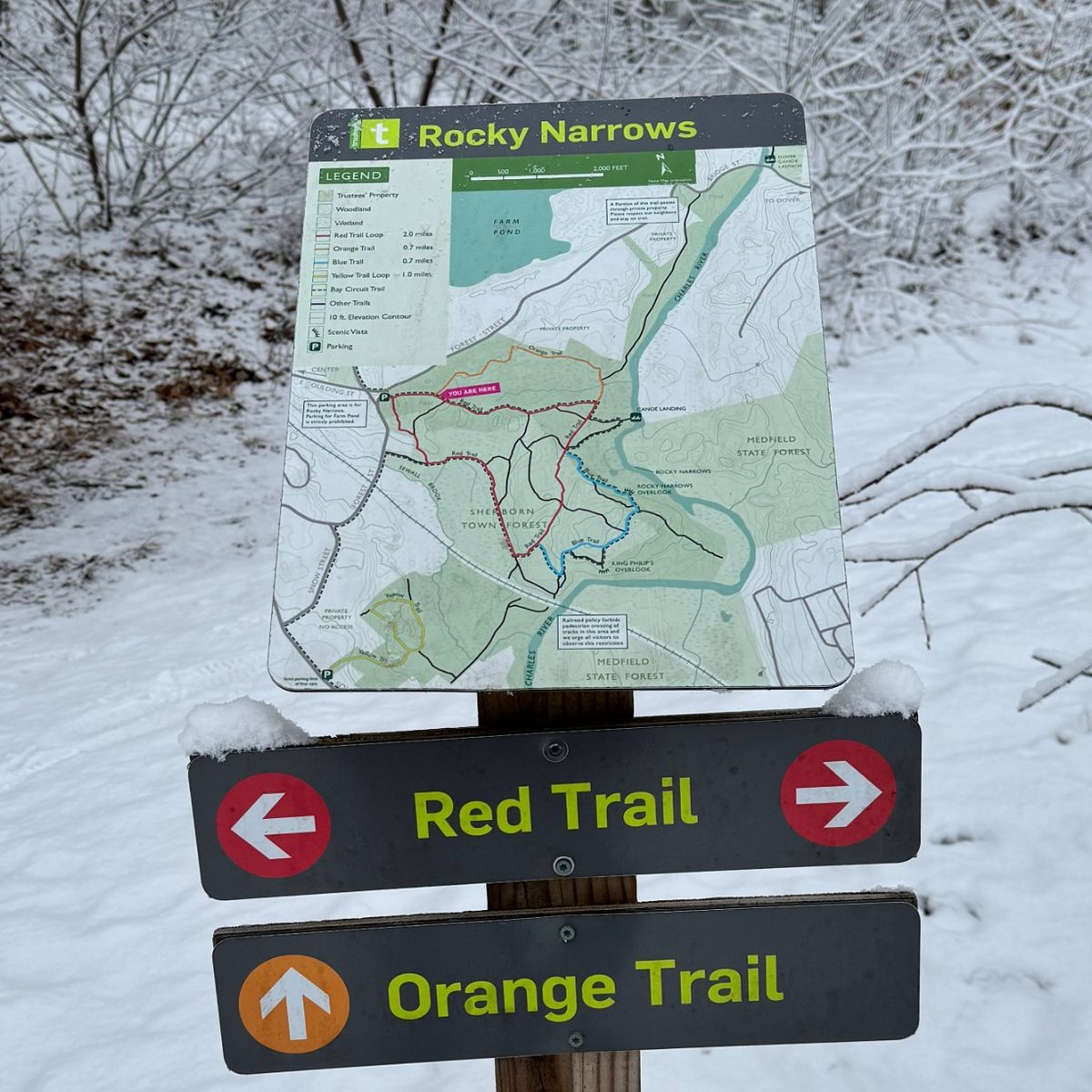
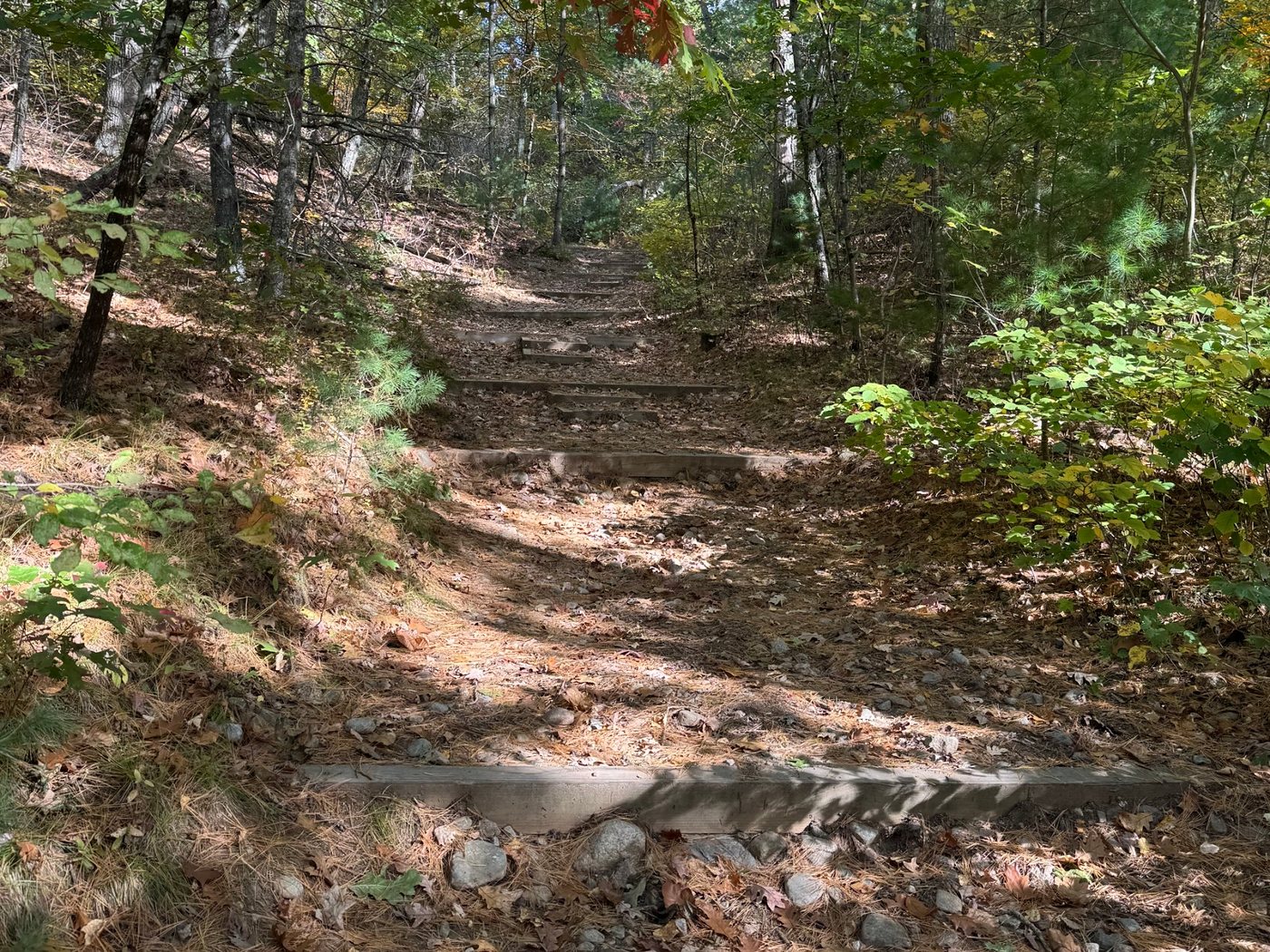
The classic walk is a loop of about two miles out to the Rocky Narrows Overlook, where you look down on the river between the granite walls. A canoe landing on the river connects to the same loop. Give yourself at least an hour and a half, more with little kids.
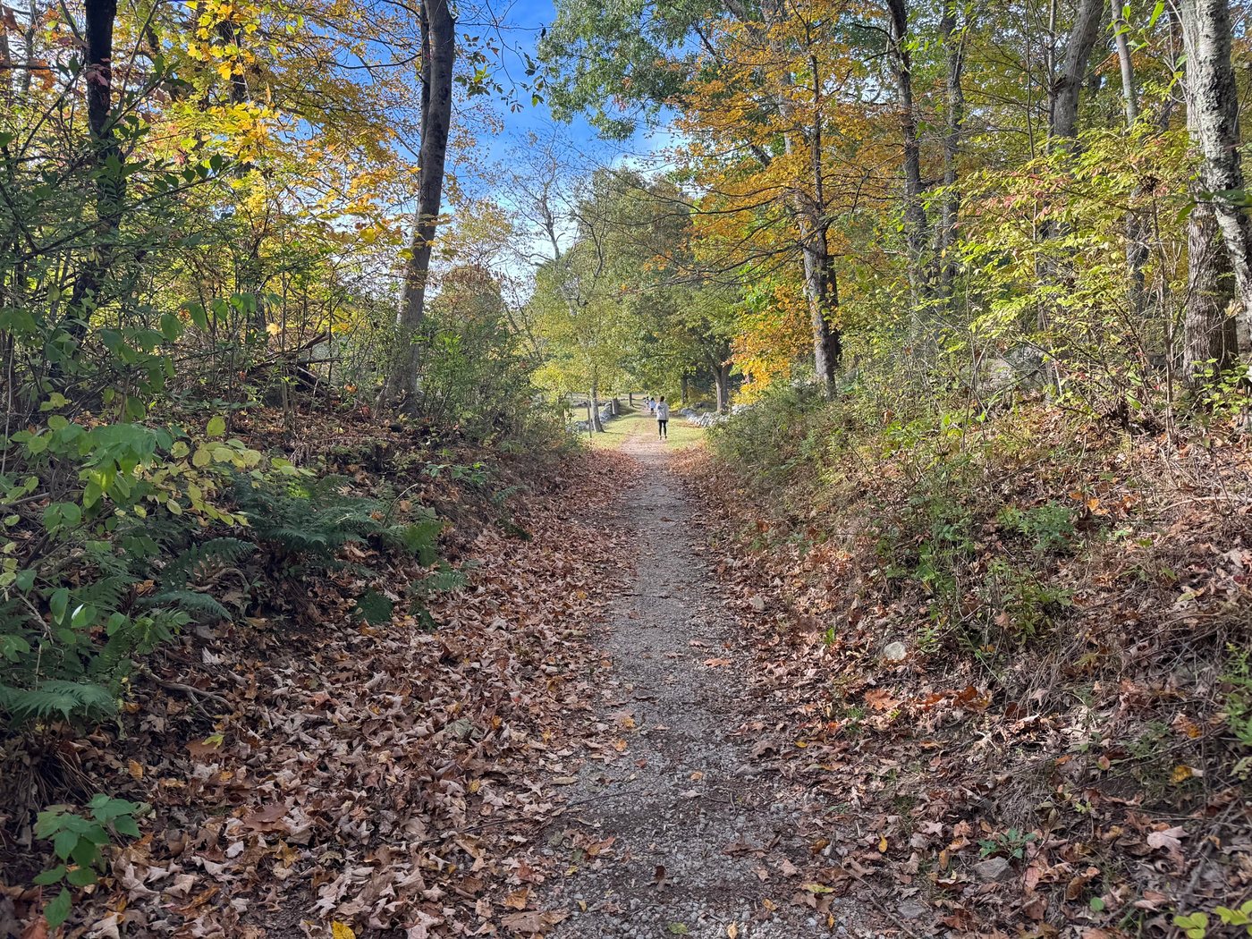
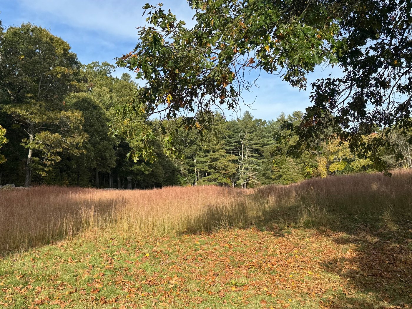
A few things to know: part of the trail crosses private property, so stay on the marked path, and an active railroad runs through the southwest corner of the reservation. Crossing the tracks is not allowed.
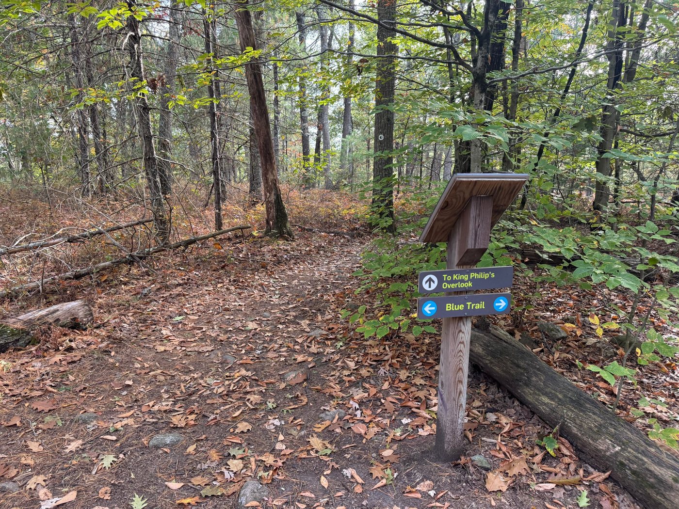
King Philip’s Overlook
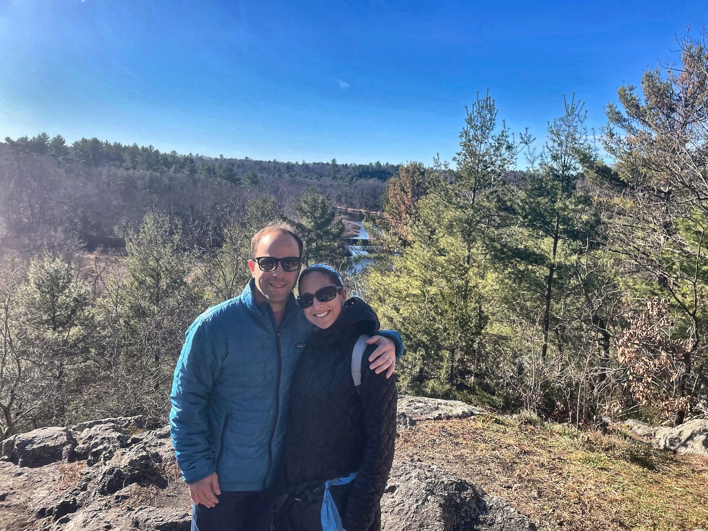
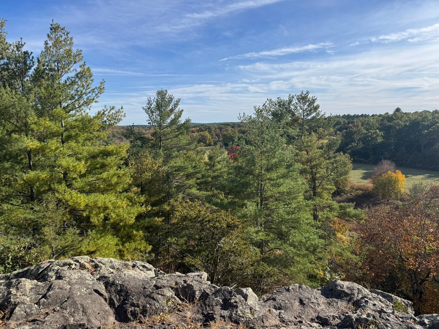
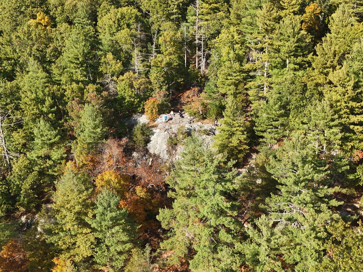
King Philip’s Overlook is the best view around. It is a rocky ledge high above the Charles River, looking out over the woods of Medfield and Millis, with Noon Hill on the horizon. It is on the Sherborn Town Forest side of the trail network, and most people reach it on foot from Rocky Narrows. Several trails lead there, including the Red Trail.
It is a great place for a fall photo and a nice reward for kids at the end of a walk. Keep a close eye on them near the edge, since the drop is steep. The name recalls Metacomet, the Wampanoag leader English colonists called King Philip.
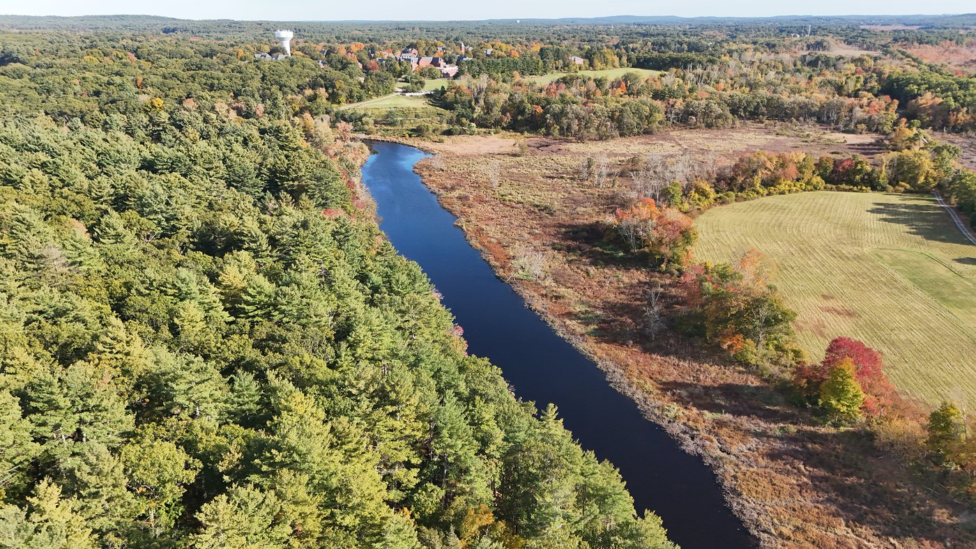
The Gates of the Charles
In colonial times, this narrow stretch of river was known as the Gates of the Charles. The granite walls rise about 50 feet above the water and are roughly 650 million years old. The Wampanoag and the early English settlers both saw it as an important spot along the river.
In 1897, Frederick Law Olmsted Jr., working on behalf of Augustus Hemenway, deeded 21 acres here to The Trustees. It was the organization’s first reservation, and it has grown over the years to the 274 acres you can walk today.
Mountain biking
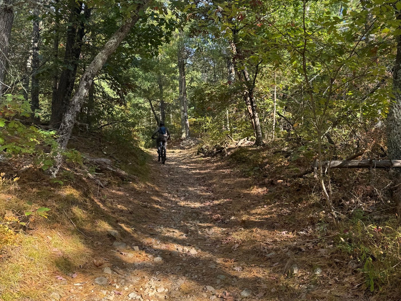
Rocky Narrows is a popular stop for mountain bikers, and its trails link into the Sherborn Town Forest network. The Trustees have a few simple rules:
- Bikes are allowed on designated trails only.
- Only ride when the trails are dry.
- The reservation is closed to bikes from March 1 through April 30, during mud season.
You will be sharing the trails with walkers, runners, and dogs, so slow down and say hello when you pass. See our mountain biking section for more on riding in Sherborn.
Paddling to Rocky Narrows
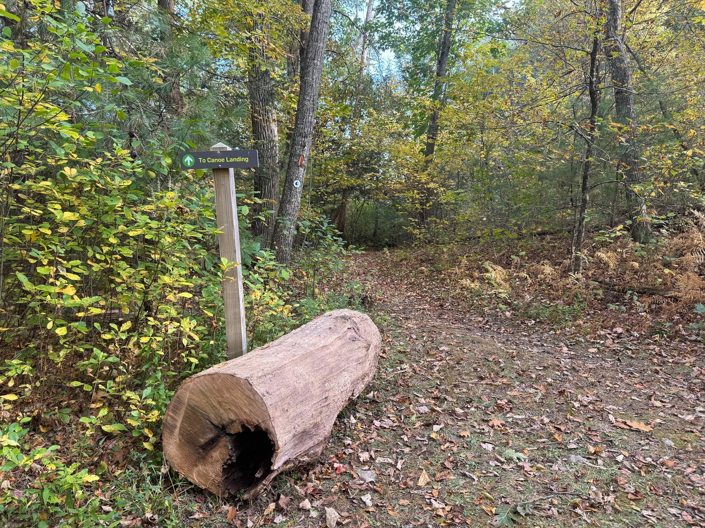
If you are paddling the Charles, Rocky Narrows has a canoe landing where you can pull over for a break or a picnic. It is for landing only, so you cannot launch a boat from the property. The closest launch is at the Farm Road and Bridge Street bridge, about a mile downstream. Our Charles River guide has the details.
Good to know
Before you go
- Open every day from sunrise to sunset, and free.
- Dogs are welcome, and can be off leash if they stay under your control at all times. Bring bags.
- Visit The Trustees website for more information about bow hunting and other activities.
- Stay off the railroad tracks.
- Carry out whatever you bring in.
Go straight to the source