
Middlesex County, Massachusetts
Where Sherborn is Located
A MetroWest town about 18 miles southwest of Boston.
Sherborn is a small town in eastern Massachusetts, about 18 miles southwest of Boston. It is part of the MetroWest region and is located in Middlesex County.
- County
- Middlesex
- Region
- MetroWest
- Distance to Boston
- About 18 miles
- Main roads
- Route 16 and Route 27
- Nearest train
- Natick Center and West Natick
The town borders Natick, Dover, Medfield, Millis, Holliston, Ashland, and Framingham. Sherborn sits just south of the more developed Natick and Framingham area, but much of the town has a noticeably more rural feel, with wooded roads, open land, farms, and conservation areas.
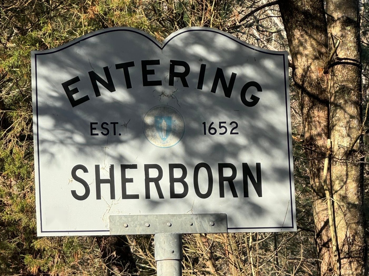
How to get to Sherborn
The two main roads through Sherborn are Route 16 and Route 27, which meet near the center of town. Route 27 runs north toward Natick and south toward Medfield, while Route 16 connects Sherborn with Natick and Wellesley to the east and Holliston to the west.
From Boston and points east, Sherborn is generally reached by taking the Massachusetts Turnpike or Route 9 toward Natick and then heading south into town. Drivers coming from the south can reach Sherborn through Medfield on Route 27, while local roads provide direct connections with Dover, Millis, Holliston, Ashland, and Framingham.
Sherborn does not have its own MBTA Commuter Rail station. The closest stations are Natick Center and West Natick on the Framingham/Worcester Line, both a short drive from town.
Despite its proximity to Boston, major highways, and the commercial areas of Natick and Framingham, Sherborn remains one of the more rural communities in MetroWest.